
Saturday, February 27, 2021
Monday, February 22, 2021
Where's air for you car when you really need it?
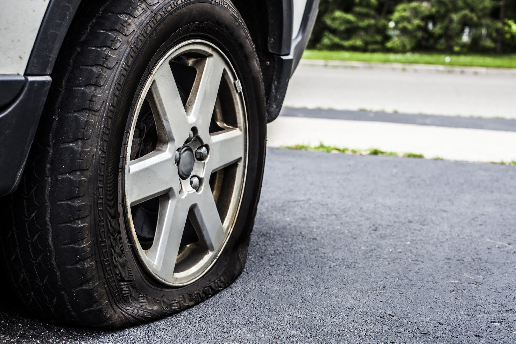
Sometimes it's the little problems that can become very big problems. Such as not being able to add air to a underinflated tire.
Forsyth MO. - One morning, after getting into my Jeep to go drive to a local store, I noticed that a low tire icon had lit up on my dashboard. At the time I wasn't very concerned as the town where I lived had two air stations; one at a Conoco station and one at a convenience store called Casey's.
I tried the Casey's location first, only to find an out of order sign taped over the unit. Then, a trip over to the Conoco station (aka the White Oak) also proved fruitless, as while the unit worked and took $1.50 in quarters, it provided less air pressure than I could have, using just my lungs! Money and time both wasted.
The solution to my problem manifested itself in the form of a local dealership known as The Kar Lot and an auto specialist by the name of David Scobee who is a 'can do' and 'no problem' sort of professional. The dealership is located at 16099 Hwy 160 Forsyth, MO 65653 and can be reached by calling 417-546-8484 during regular business hours.
Please consider giving them a call the next time you need service or if you might be interested in getting yourself a new ride!
Thursday, February 11, 2021
Feb 13th weekend to see cold temps and smow!
Feb 13th weekend to be cold and snowy!
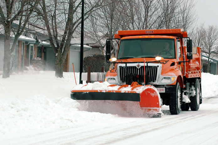
NWS (edited and paraphrased by this site) – A upper (frontal) wave that is currently situated over the central north Pacific will move onshore into the Pacific NW late Friday night then proceed to dig southeast into the southwest U.S. early this coming weekend. Guidance varies, but the mean/median guidance does point to an increasing chance for snow on Sunday and Monday. Hard to be too specific with amounts given where this system initialized, but there is a general agreement concerning the high potential for accumulating snow. System will run into a southwest to northeast baroclinic zone and southwest Missouri will be on the (very) cold side of the zone, with temperatures in the single digits and lower teens, during this time. Initially, precip may fight some dry air with a weaker first wave Sunday/Sunday night, but a second wave (potentially) will bring additional snow on Monday. [How’s that for hedging our bets!]
The forecast snow amounts for now will be inherently somewhat conservative given that it is a model blend. It does yield 3-5 inches from northwest to southeast over the CWFA or County Warning Forecast Area (official). Concerned that the NBM (National Blend of Models) snow ratios are too low, ran a quick snow forecast based on 50th percentile for snow ratio guidance (close to 20:1) which yielded snow amounts about 2-3 inches higher (unofficial). We will definitely need to keep an eye on this system. Given how cold it will be, snow ratios will be high and will easily accumulate on a very cold ground.
Subscribe to:
Posts (Atom)